Catherine Petit
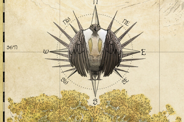
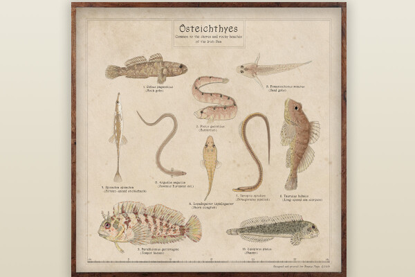
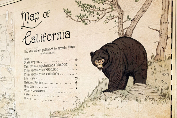
It was in 2018 that I decided to use my heritage and artistic skills to revisit ornamental cartography in the 21st century – with a reverence for nature and created Royale Maps.
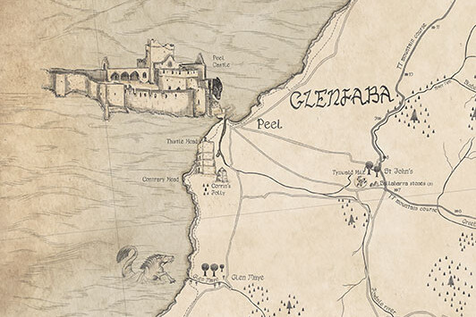
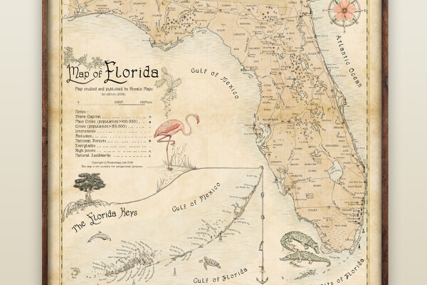
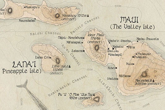
The first map I designed was the Map of Mann which was a good place for me to start: the island is small and lightly populated. I enjoyed the calm process, people liked it so I went on to design the Map of Florida, Map of Hawaii, and Map of Iceland.
It takes time to draw and illustrate a map, even with the help of satellite data and modern technology, but I find the result to be something truly inspiring and unique.
To draw a good map, I connect to the place I am drawing. Once the creative process is over, I don’t want to sever the chord, so my aim in the near future will be for my art to remain connected to their place of inspiration by gifting back part of their proceeds to local environmental charities.
At the end of it all, my maps have one goal: to become a window in your home that (re)connects you with the place you love.
May nature be your compass.
Catherine x